


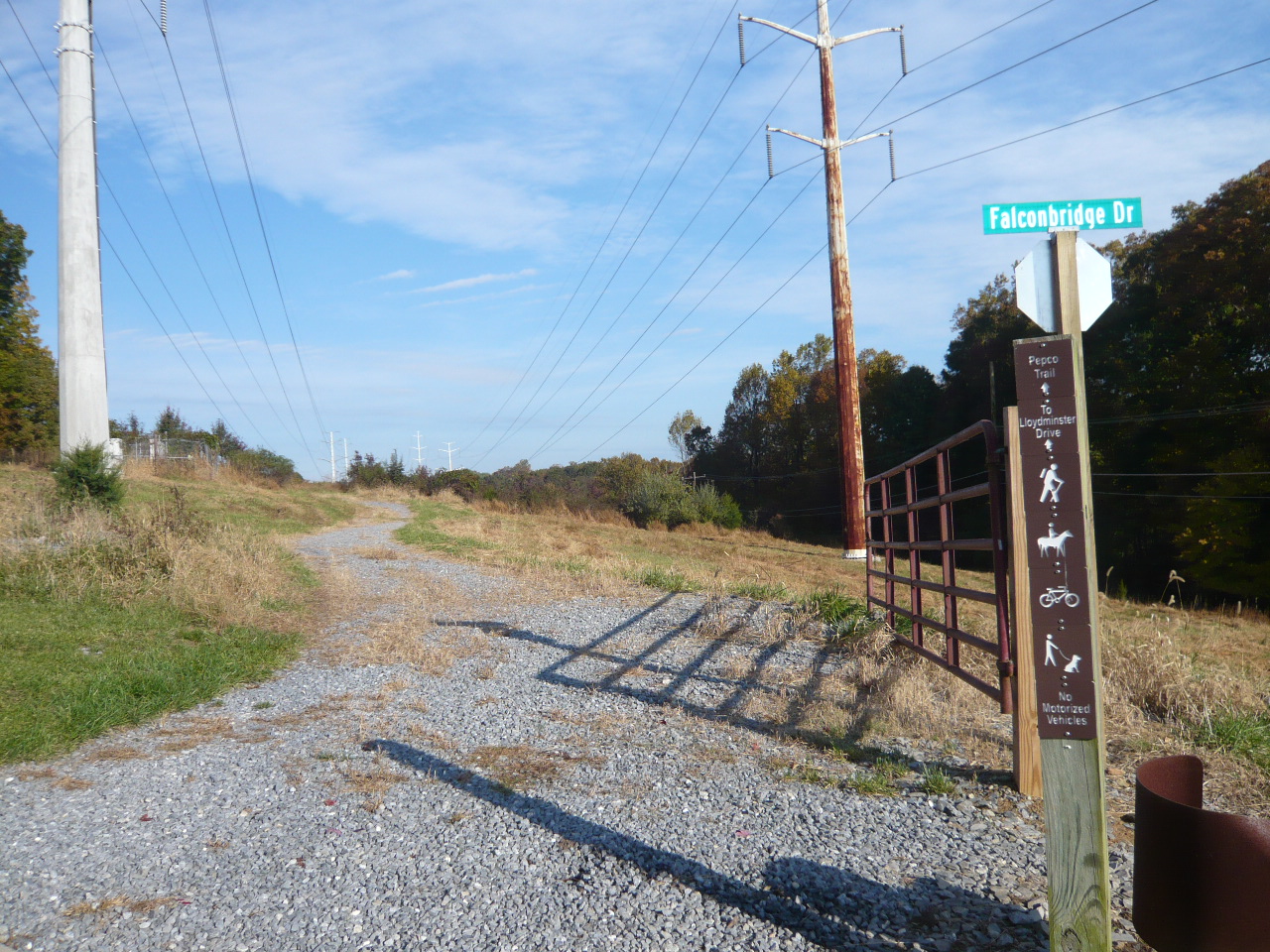

A new Pepco hiking and biking trail begins at the Hoyles Mill Trail in South Germantown Recreational Park and meanders for roughly 2 1/2 miles until it terminates at the Seneca Creek Greenway Trail. It picks up again south of Seneca Creek at the Seneca Ridge Trail and continues on for another 6 miles until just north of the Muddy Branch Creek in North Potomac. It is the result of a partnership agreement with Montgomery County Parks and Exelon Corp. Pepco was required to allow trails to be built along its utility lines in the county as part of its merger with Chicago-based energy company Exelon, which was announced in 2014. Pepco owns the land and Montgomery Parks constructed the trail that runs under Pepco power lines. The Mid-Atlantic Off-Road Enthusiasts (MORE), a nonprofit for bikers, is tabbed to maintain the trail. (Info from Montgomery County Parks and a Bethesda Beat article in the Bethesda Magazine by Caitlynn Peetz dated 10/5/2018)
A more detailed map of this trail can be found at: https://mcatlas.org/parks/?find=Z01
NPCA comment: Unfortunately, the southern end of the Pepco Trail ends along Quince Orchard Road about a quarter mile north of the Muddy Branch Greenway Trail crossing. So hikers and bikers who want to continue on the latter (or vice versa) must cross Muddy Branch Creek along a narrow, winding, two-lane road (and bridge) with no shoulders. Perhaps someday in the future the new Pepco Trail can be extended to the Greenway Trail under the power lines with a footbridge across Muddy Branch Creek to avoid this hazardous linkage.